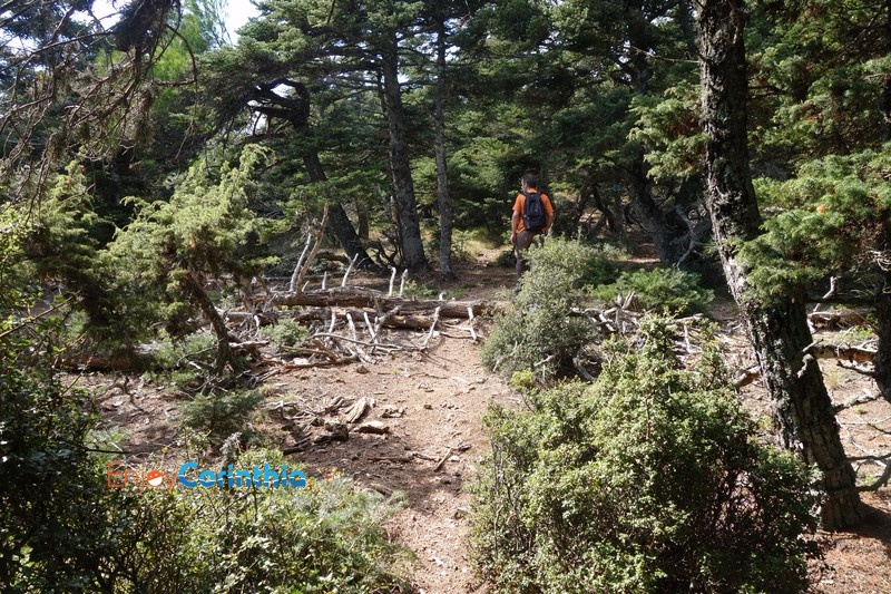
Trekking in Loutraki and Corinth area
Mount Geraneia, one of the most outstanding mountain ranges of Peloponesse, is embraced by three gulfs – the Saronian Gulf, the Corinthian Gulf and the Gulf of Alkyonides.
Moreover, it’s gifted with one beautiful lakes, Vouliagmeni. From Makriplagi, the highest peak of Geraneia – 1.369m long – the view is absolutely awesome! The mountain forms a 37 km long natural barrier between Central Greece and Peloponesse.
What’s more, Mount Geraneia is enlisted in Natura 2000, the European Net of regions under protection, thanks to its rich fauna and vegetation. There have been traced and recorded approximately 950 different species of plants (lush vegetation, fir & plane trees, oak and myrtle trees, pine trees) and wild animals (jackals, foxes, cranes, eagles, hares ). Spread around the hills, you may find lots of natural springs with crystal water, while, scattered among the pine forest, you can trace one of the numerous monasteries and churches (Agia Paraskevi, Osios Patapios, Agia Marina, Panagia Prathi, Agios Gerasimos).
Advanced preparation & equipment, will help us to be safe and enjoy the mountain.
Examples of routes: Trekking in Loutraki & Corinth area
Coastal Route (Sterna – Vouliagmeni Lake)
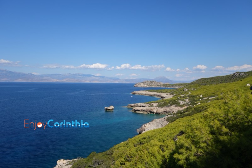
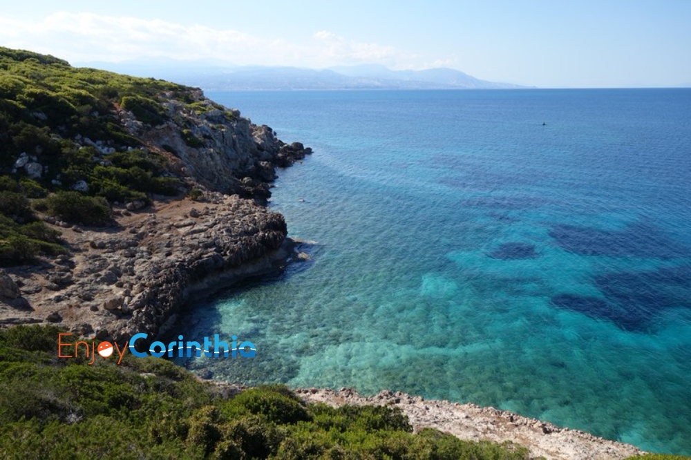
On the north side of Gerania, overlooking the Corinthian Gulf, we will walk along the unique seaside path.
The path that starts from the beach of Sterna and ends at the Lighthouse of Heraion, going through pine trees that smell like pitch, cedars, capers and wild olive trees embraced by ivies.
During the hiking, we will gaze, over the sea, at the arch at Sapounthi, discover hidden beaches while admiring the wonderful formations of the rocks created by the force of the waves. If we are lucky we will find fossilized shells.
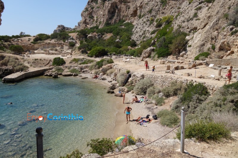
The landscapes keep alternating until we reach the Lighthouse of Heraion and the archaeological site of the temple of Hera.
Next we will follow the asphalt road to Lake Vouliagmeni. On the way there we will see the ancient Krini (spring) and the area of the ancient aqueduct, a miracle of engineering for its time.
Then we will swim in Lake Vouliagmeni, a UNESCO site, known for its natural beauty, where in its turquoise waters we can see the reflexion of Mount Gerania.
Also available is having lunch at a local restaurant.
Length of trail: 9 Km
Track time: 4 hours
Difficulty: Easy to Moderate.
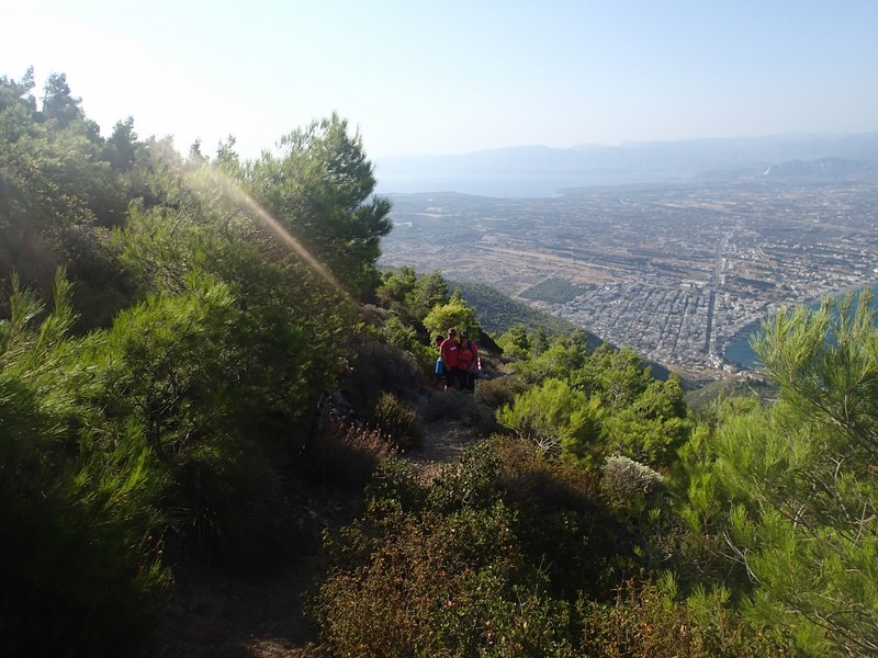
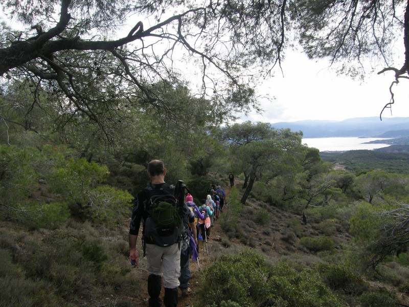
Perachora Village – Lake Vouliagmeni Path
At the western end of the mountain of Gerania there is a path with a wonderful view waiting to be explored.
It starts from the village of Perachora and heads west towards Lake Vouliagmeni and the archaeological site of Heraion.
Almost all the way north and south of Gerania we see the Corinthian Gulf and also the Alkyonides islands. Halfway down the road, we come across a unique view of Lake Vouliagmeni, the channel that connects it with the sea and the lighthouse of Heraion.
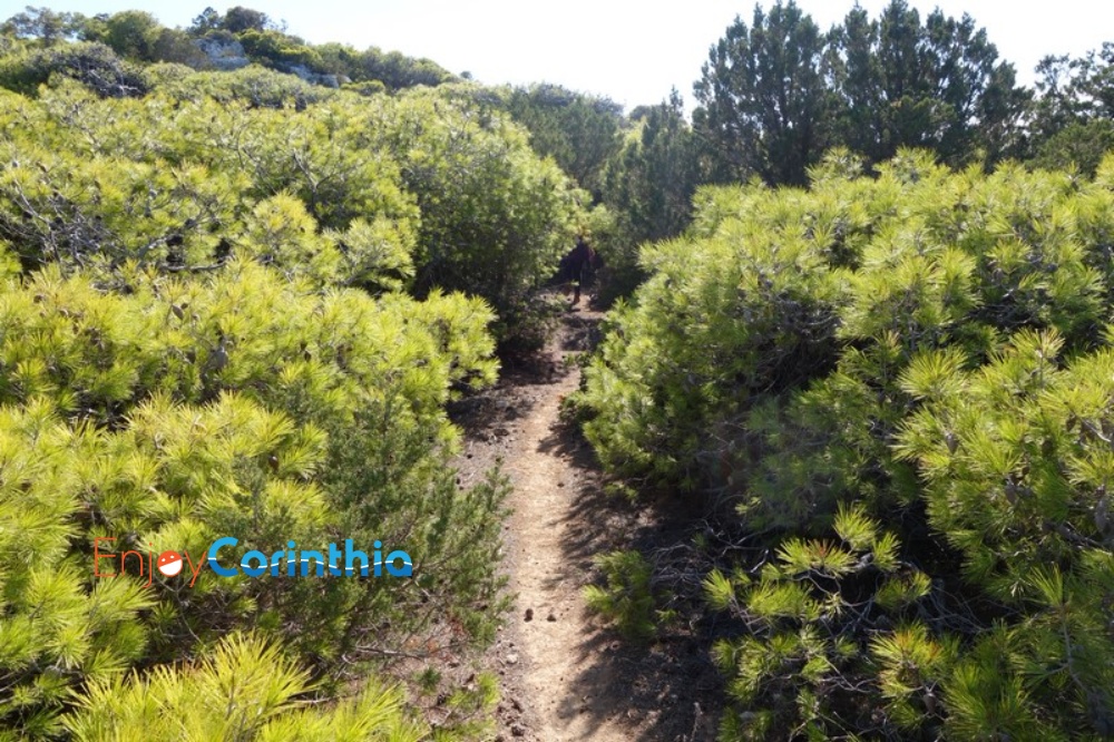
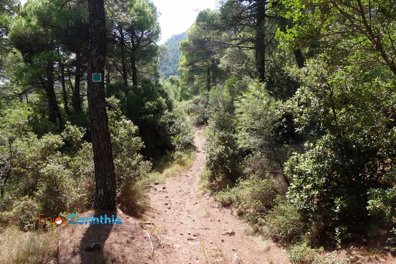
The route goes through forests of pines of various ages as well as olive groves. The visitor has the opportunity to admire the local flora while during the spring the colors create a wonderful setting.
The path is characterized as easy but good physical condition is required.
Its length is about 10.5 km and it takes 3.5 – 4.5 hours to finish it.
The altitude differences are small with a maximum height of 460m and its end being right by the sea.
Upon finishing the path we can visit the archaeological site of Heraion and the Melagavi Lighthouse.
Trekking in Vouraikos Gorge – Cog Railway
We take the train going up, we walk going down.
The descent from Kalavrita to Diakofto, following the rails of the Cog Railway, requires about 6 hours hiking, while the same ascent about 7-8 hours. This route is a part of the European path E4.
We begin our descent from Kato Zachlorou, estimating that we will need about 4 hours to Diakofto.
Although the trip with the Cog Railway gives us a taste of the beauty of the route, not for a moment do we cease to enjoy the alternating landscapes. Walking on the train rails and looking right and left, every new turn we take surprises us, as we have either tremendous waterfalls unfolding before us, or tunnels, which we have to enter and exit running to avoid any … “close contact” with the train, abandoned stone houses with a telegraph that turn us back in time, disoriented livestock, rocks carved by the gushing water and shaped into forms that look impossible to the human brain, and the most enjoyable of all, the amazing aerial bridges! This feeling when you have nothing under your feet and that point when you wish the Cog Railway wasn’t coming towards you – or in our case the opposite, just to make it even more fun.
Things to do
Tags
Use the form below to contact us directly.
Please complete all required fields.